San Diego weather: More rain on the way tonight into Monday

We’re staying in an unsettled pattern, with a series of mostly weaker storm systems moving through. That means we’ll keep seeing on‑and‑off rain chances through early next week.
The second wave arrives on Sunday evening and lasts through Monday. This one looks a little stronger, with pockets of moderate to heavier rain at times especially if isolated thunderstorms develop.
With this system rainfall rates will average between 0.25″ to 0.50″ per hour with moderate to heavy rain at times which may lead to minor flooding in low lying areas and poor drainage areas. Expecting rough seas in the outer waters and a chance of waterspouts. Also, this rain will likely impact your morning commute so allow some extra time before you head out.

Even so, rainfall totals will be much lower than what we saw last week. From tonight through Monday night, coastal and valley areas could pick up about a quarter to a half inch of rain. The mountains could see between half an inch and an inch, and the deserts will likely get around a tenth of an inch or less. Higher totals are expected across the northern part of the county, with lighter amounts farther south.


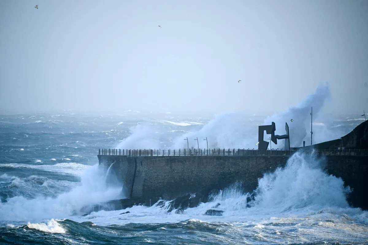
King Tides are also here, bringing higher-than-normal high tides to the coast. You’ll notice higher morning tides, lower‑than‑normal afternoon lows, and the potential for minor flooding in low‑lying beach areas. Because of that, a Beach Hazards Statement is in effect through 10 a.m. Monday.
And we’re not done yet—there are more rain chances on Tuesday. More details on that soon!
MONDAY
- Coast: Chance of scattered showers – mid to low 60s
- Valles: Chance of scattered showers – low to upper 60s
- Mountains: Chance scattered showers – upper to low 50s
- Deserts: Chance of scattered showers – low 70s